Nick Pontone, 4th Year Geomatics Graduate

“The Geomatics program at Carleton has allowed me to focus on the aspects of the discipline that interest me the most. Under the guidance of talented instructors, I have gained invaluable experience in the field, classroom, and laboratory. The department offers a diverse set of courses, covering topics like remote sensing, statistics, and soil science. I enjoy studying geomatics because it allows me to gain a better understanding of the world around me through the use of technology. The highlight of my undergraduate degree so far has been the honours field course. It was an incredible chance to put theory into practice by working closely with my professors and peers in the field. I am confident that the skills I am learning are preparing me for a future in research or the workforce.”

Analyze spatial patterns and processes using state-of-the-art tools including Geographic Information Systems, Remote Sensing, GPS; Develop expertise in quantitative methods for geographic problem solving in environmental science/conservation, urban planning, transportation, health, resource assessment and risk analysis

Co-op Available

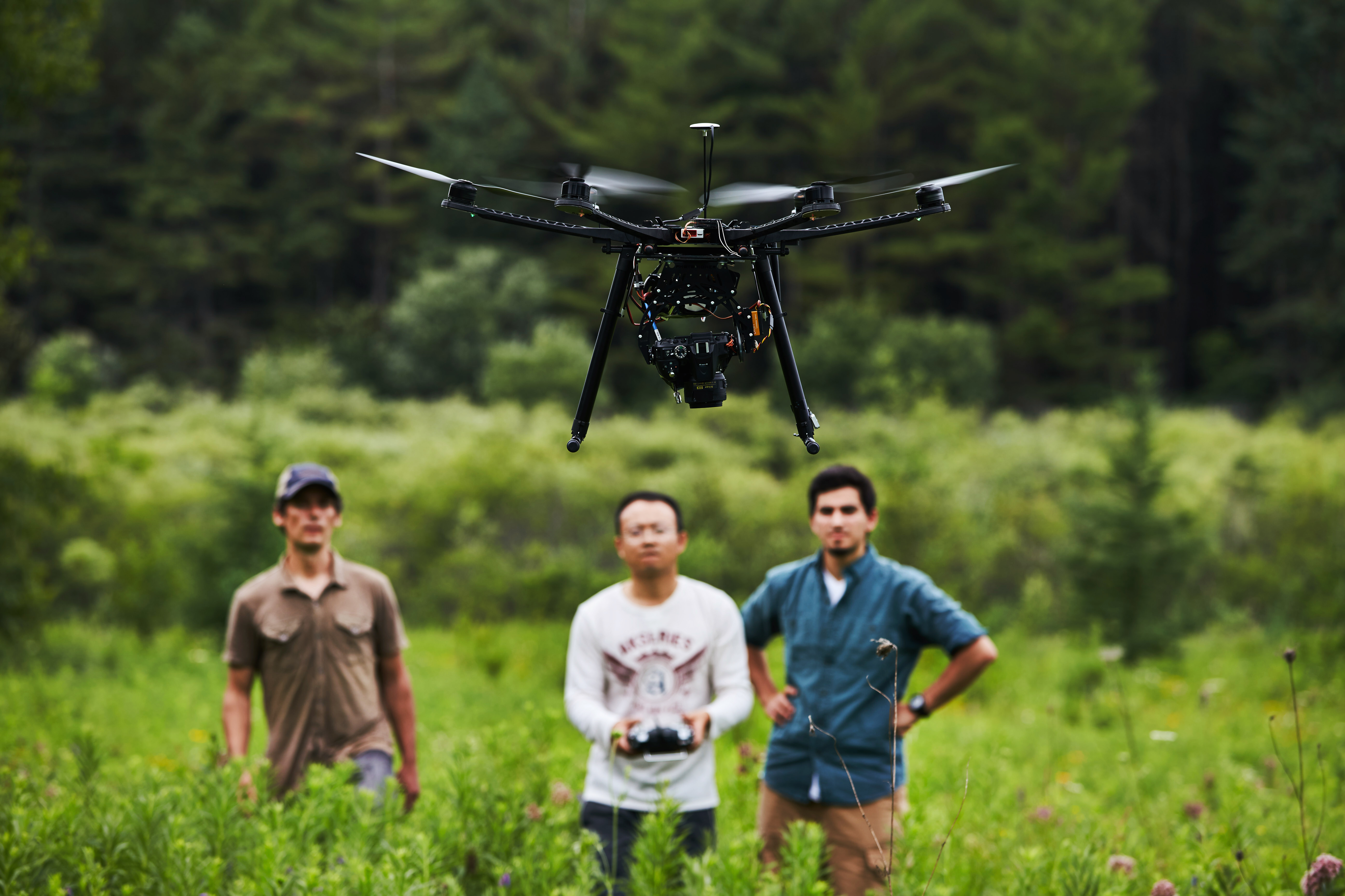
Geomatics is the science of geospatial data acquisition, management, manipulation, analysis and visualization to answer geographical questions. Geomatics technologies are now ubiquitous in modern society and play a critical role in everyday life. Think, for example, of recent, game-changing technologies such as Uber, Google Maps and the current push towards autonomous (driverless) automobiles. Beyond these obvious examples, geomatics also cuts across many disciplines and application areas and affect more and more people everyday, including fields such as environmental science, resource management and conservation, urban and transportation planning, healthcare, business and politics.

Our program is for students who wish to focus on the acquisition, management, analysis, and display of geographic information. You will learn skills to customize and apply geomatics tools to a wide variety of social and physical environmental problems. Practical experience will be gained in geomatics, cartography, remote sensing, and quantitative methods.

We offer a BA and BSc in Geomatics, as well as a minor degree option for students who are specializing in a different discipline that may require advanced spatial analysis methods. Our graduates find jobs in public, private and non-government sectors as technicians, analysts, researchers and managers that specialize in geographic information technology.

Many geomatics courses welcome guest speakers into the classroom to expose students to different areas of geographic research. Field courses, workplace practicums, experiential learning and hands-on training provide an opportunity to gain valuable skills and practical experience during the completion of the geomatics program.

To receive more information please contact:

Undergraduate Administrator

  • Karen Tucker
  • Contact for questions about your audit, course selection and program requirements.

Geomatics Program Supervisor

Professor Murray Richardson and Graduate students using a drone to collect data for use in geomatic research.